


 Photo: © StockholmMuseum.com, 2025
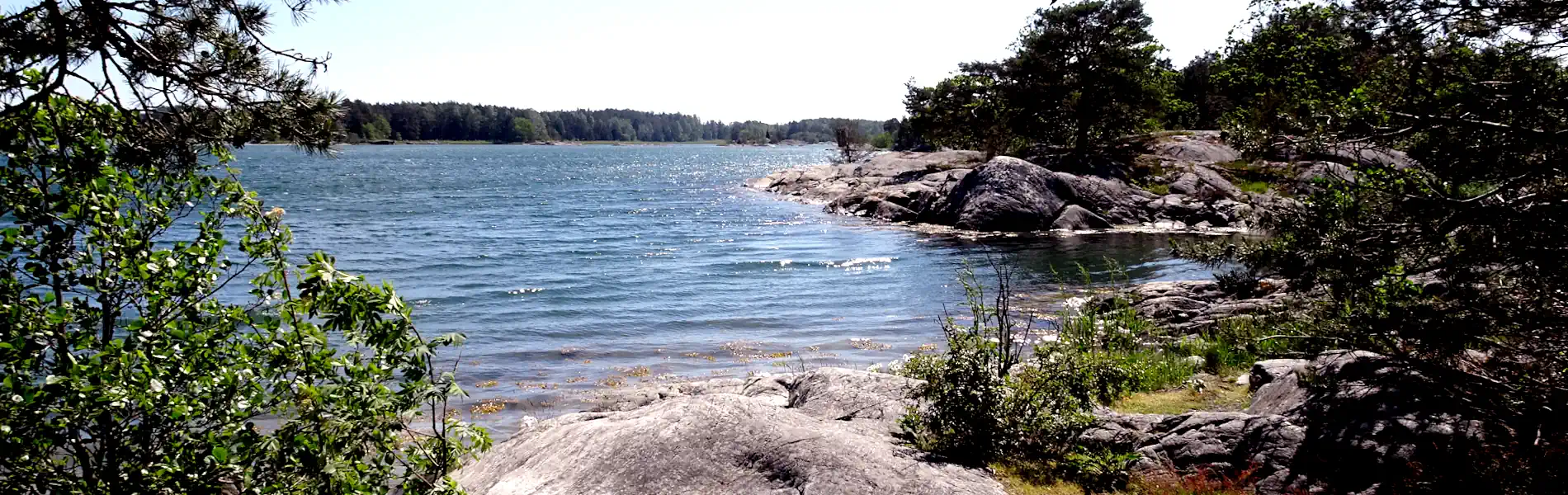
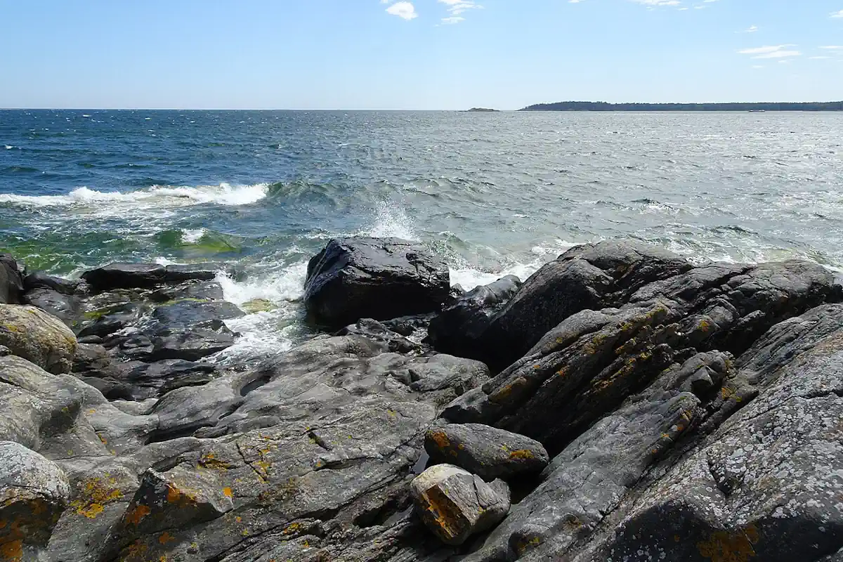
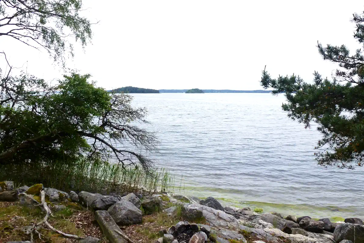
The Stockholm Archipelago is a vast coastal landscape of around 30,000 islands extending into the Baltic Sea. It reflects Sweden’s maritime geography and offers a unique combination of natural environments and cultural history.
Just beyond the city’s waterfront lies one of northern Europe’s most remarkable landscapes: the Stockholm Archipelago.
Stretching eastward from the Swedish capital into the Baltic Sea, the archipelago consists of around 30,000 islands, skerries, and rocky islets. For centuries these waters served as Stockholm’s natural shield, trade route, and maritime gateway to the wider world.
Ships approaching the capital had to navigate narrow passages between islands before reaching the city’s historic harbor. This journey shaped Stockholm’s development as a port, fortress city, and maritime center.
Today the archipelago remains inseparable from the identity of the Swedish capital — a place where history, nature, and sea travel meet.
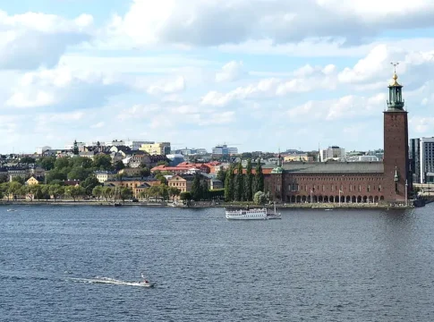
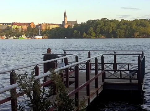
Stockholm is often called “the Venice of the North,” but the comparison only hints at the scale of its waterways.
The city stands at the meeting point of Lake Mälaren and the Baltic Sea, where islands, straits, and harbors form a natural maritime landscape.
Historic waterfronts such as Skeppsbron once served as the city’s main harbor, where merchant ships unloaded goods beside the medieval streets of Gamla Stan.
From here, waterways branch in two directions:
This unique geography made Stockholm one of Scandinavia’s most important maritime capitals.
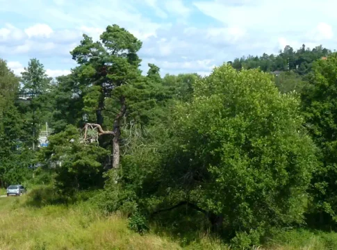
The archipelago’s dramatic geography was formed during the last Ice Age. As glaciers retreated around 10,000 years ago, they carved the Baltic coastline into a labyrinth of rocky islands and shallow bays. When the ice melted, the land slowly rose from the sea, revealing thousands of islands.
This geological history created the distinctive scenery visitors encounter today:
The result is one of Europe’s most unique coastal landscapes.
Long before modern ferries connected the islands, these waters formed part of an important Baltic trade network.
Viking traders navigated these routes between Scandinavia, the Baltic states, and the wider European world.
One of the most important centers of this early maritime economy was Birka, located on Lake Mälaren west of Stockholm.
Founded in the 8th century, Birka became one of the first major trading towns in Scandinavia. Goods arriving from across the Baltic Sea passed through these waters on their way to the Viking marketplace.
Because every ship entering Stockholm had to pass through narrow island channels, the archipelago became a natural defensive barrier.
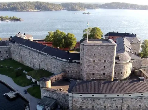
The most famous example is Vaxholm Fortress, built in the 16th century to guard the main sea route to the capital.
From its strategic island position, the fortress controlled access to Stockholm’s harbor. Enemy fleets attempting to approach the city would face artillery long before reaching the capital.
Today Vaxholm remains one of the archipelago’s most important historical landmarks and a key gateway between the city and the open Baltic Sea.


The waters surrounding Stockholm preserve remarkable traces of maritime history.
Because the Baltic Sea has low salinity and cold temperatures, wooden ships decay very slowly. Many wrecks remain extraordinarily well preserved on the seabed.
The most famous example is the 17th-century warship Vasa, which sank in Stockholm harbor in 1628.
After lying on the seabed for more than three centuries, the ship was rediscovered and raised in the 20th century. Today it is displayed in one of Scandinavia’s most visited museums.
Nearby, Vrak – Museum of Wrecks explores the underwater archaeology of the Baltic Sea and the many shipwrecks hidden beneath its waters.
The maritime story of Stockholm begins in the city’s historic harbor but quickly expands outward into the island world beyond.
From Skeppsbron, ships once sailed east through narrow sea passages before entering the open archipelago.
Further west, the waterways lead toward Lake Mälaren and historic sites like Birka.
This intersection of lake, river, and sea helped shape Stockholm into one of northern Europe’s most important maritime cities.
Today the Stockholm Archipelago is both a historic landscape and one of Sweden’s most beloved outdoor destinations.
Visitors can explore the islands through:
Popular destinations include islands such as Vaxholm, Sandhamn, and Grinda, each offering its own mix of history, nature, and Baltic Sea views.
Although famous for its natural beauty, the archipelago is also deeply connected to Stockholm’s history.
From Viking traders to naval warships and modern passenger ferries, these waters have shaped the life of the Swedish capital for more than a thousand years.
Standing along the waterfront today, it is easy to imagine ships sailing eastward through the islands — leaving Stockholm behind as they enter the vast Baltic Sea.
These sites reveal the deep maritime history of Stockholm and its connection to the Baltic Sea.
Stockholm archipelago
Stockholms skärgård