Lake Mälaren and Saltsjön are the waterways that shaped Stockholm’s geography, history, and identity. Their meeting point created the conditions for the city’s growth as a protected inland hub and a major maritime gateway.
Stockholm exists because of water — its geography, history, and identity all flow from the meeting of Lake Mälaren and the Baltic Sea. The city’s very foundation rests on this strategic point where freshwater meets saltwater, shaping everything from trade and defense to culture and daily life.
From Viking merchants at Birka to royal warships and lakeside palaces, Stockholm’s waterways have influenced politics, power, and settlement patterns for more than a thousand years.
To understand Stockholm is to understand Mälaren and Saltsjön.
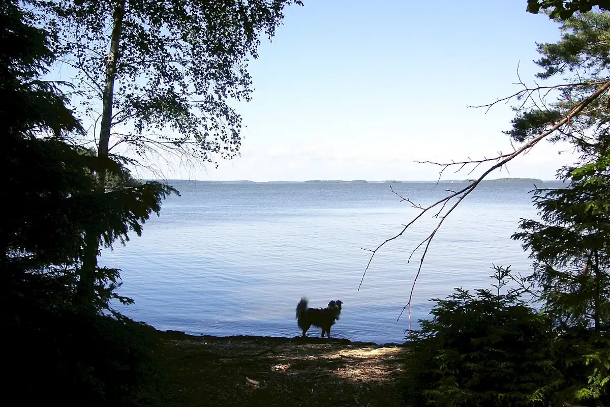
Lake Mälaren — Sweden’s third‑largest lake — has sustained the region since long before Stockholm existed. Its fertile shores supported early farming communities, while its sheltered waters formed a natural inland highway for trade and communication.
During the Viking Age, Mälaren linked important centers such as Birka on Björkö Island to the wider Baltic world. Silver, furs, iron, and crafted goods moved along these routes, helping lay the foundations of early Swedish statehood.
When Stockholm was founded in the mid‑1200s, its placement at Mälaren’s narrow outlet was deliberate. By controlling the passage between the lake and the sea, the city acted as a defensive lock — protecting inland Sweden from naval threats while regulating the flow of goods entering and leaving the kingdom.
Mälaren was not only strategic; it was essential. Its freshwater supplied the growing population, supported agriculture, and powered early industries. Even today, the lake remains Stockholm’s primary source of drinking water.
The lake also became a royal landscape. Palaces such as Drottningholm were built along its shores, reflecting how closely the monarchy’s power was tied to the waterways that sustained the capital.

If Mälaren was Stockholm’s protected heart, Saltsjön — the eastern arm of the Baltic Sea — was its open gateway.
The name “Saltsjön,” meaning “Salt Sea,” reflects the brackish waters where lake and sea meet. This outlet transformed Stockholm into a major maritime hub during the Middle Ages.
The powerful Hanseatic League established strong commercial ties here, making Stockholm a key node in Northern European trade. Iron, copper, and timber were exported across the Baltic, while luxury goods, textiles, and spices flowed back into Sweden. The city’s prosperity — and its growing influence — depended on this maritime connection.
Saltsjön also became the stage for Sweden’s naval ambitions. The warship preserved at the Vasa Museum sank in these waters in 1628 — a dramatic symbol of royal power, engineering ambition, and the risks of maritime expansion. Raised more than three centuries later, the Vasa remains a powerful reminder of Stockholm’s deep connection to the sea.
The meeting point of Mälaren and Saltsjön is more than a geographical curiosity — it is the reason Stockholm flourished.
The inland lake offered protection, stability, and resources.
The Baltic Sea offered trade, opportunity, and international reach.
Together, they created ideal conditions for a capital city: defensible, prosperous, and outward‑looking.
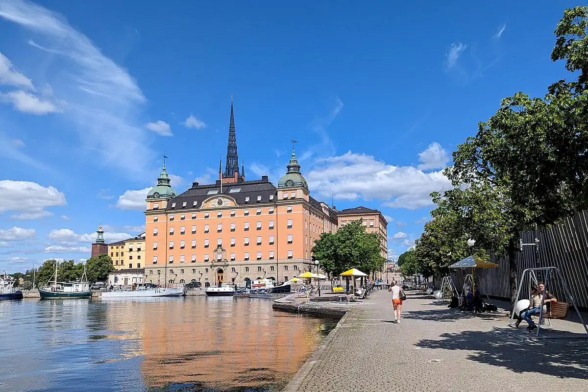
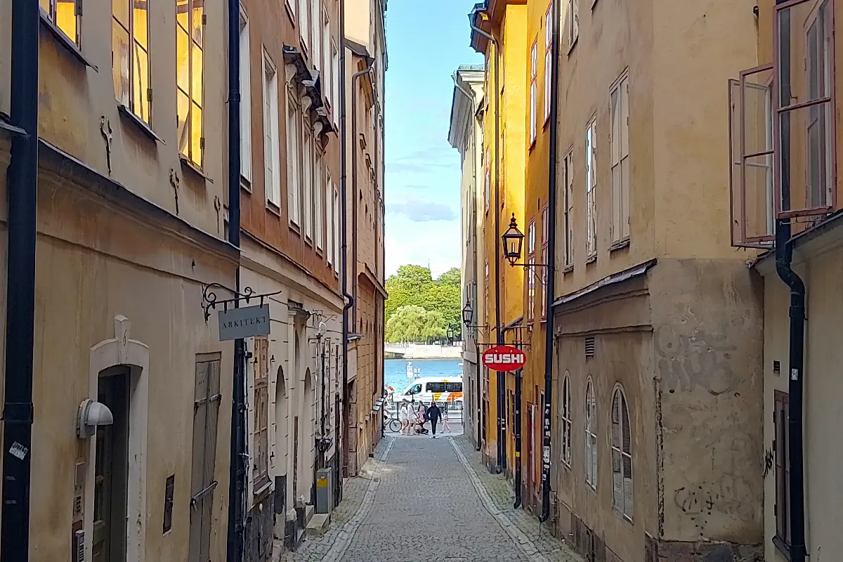
This unique geography also shaped Stockholm’s physical form. The city’s 14 islands, bridges, and quays emerged from the shifting shoreline where freshwater and saltwater converge. Over centuries, this network expanded into the vast Stockholm archipelago — more than 24,000 islands stretching into the Baltic.
Water did not divide Stockholm. It defined it.
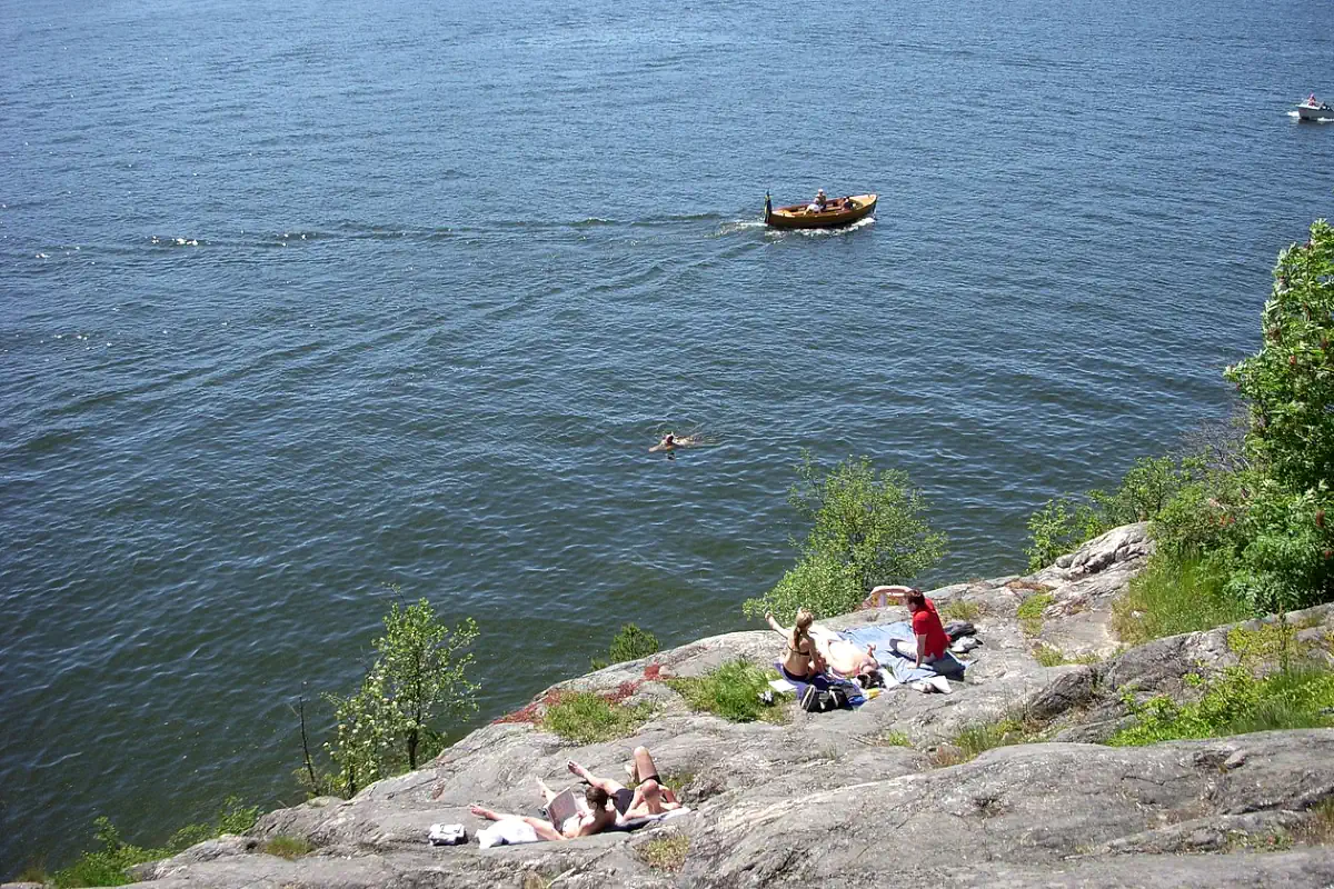
Today, Mälaren and Saltsjön remain central to everyday life in Stockholm.
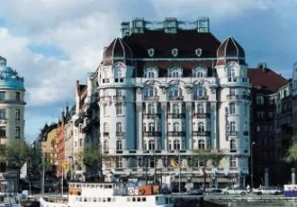
Boating, swimming, kayaking, and ferry travel are part of the city’s rhythm. Waterfront promenades such as Strandvägen, Skeppsbron, and Norr Mälarstrand offer scenic views where history and modern life meet.
Festivals celebrating the Baltic Sea and the archipelago highlight a growing commitment to sustainability and environmental stewardship. Protecting these waters is not just ecological policy — it is preserving the foundation of Stockholm itself.
Stockholm’s waterways are not just history — they are part of everyday life, easily explored on foot, by ferry, or from scenic viewpoints around the city. Here are some of the best places to experience where Mälaren and Saltsjön shape the capital’s landscape.
From Viking traders to medieval founders, from royal fleets to modern ferries, Stockholm’s story flows through its waterways.
Mälaren gave the city protection, life, and freshwater.
Saltsjön gave it trade, ambition, and connection to the wider world.
Together, they formed the lifeblood of Sweden’s capital — shaping its history, guiding its growth, and defining its character.
To understand Stockholm is to understand its water.
Mälaren and Saltsjön
Mälaren och Saltsjön